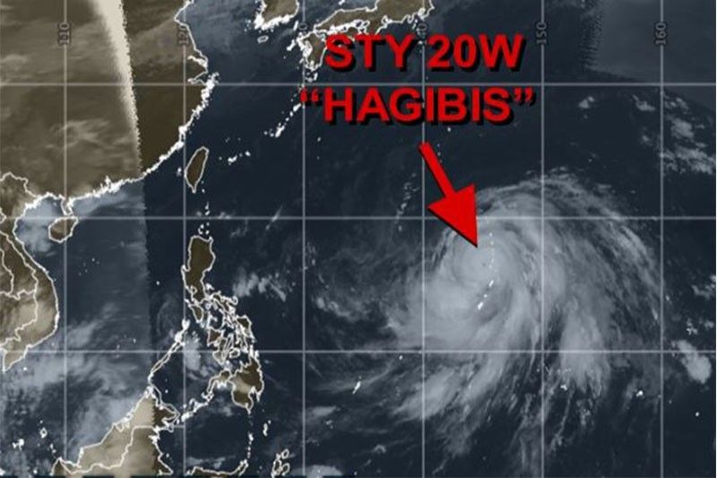
Powerful Typhoon Hagibis to enter PAR but won't make landfall
MANILA, Philippines (Updated October 10, 9:14 a.m.) — Typhoon Hagibis (international name)
PAGASA weather specialist Meno Mendoza said the weather disturbance is packing winds of 200 kph and gusts of up to 245 kph.
According to AccuWeather, Hagibis is packing winds equal to a Category 4 hurricane in the Atlantic and East Pacific oceans.
As of the 4 a.m. Tuesday, the typhoon
It will
On Tuesday, Metro Manila and the rest of the country would experienced partly cloudy to cloudy skies with isolated
PAGASA warned of possible flash floods or landslides during severe thunderstorms. — Patricia Lourdes Viray


- Latest
- Trending