New typhoon seen to enter PAR this week
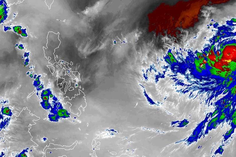
MANILA, Philippines — A typhoon hovering over the Pacific Ocean may enter the Philippine area of responsibility in the middle of the week, state weather bureau PAGASA said.
Typhoon Hagibis was packing maximum sustained winds of 120 kilometers per hour near the center and gusts of up to 150 kph at 4 a.m. Monday. It is moving west-northwest.
Once it enters the country’s jurisdiction between Wednesday and Thursday, the typhoon will be given a local name “Perla”—the first tropical cyclone in October and the 16th in 2019.
The typhoon, however, may not hit any part of the Philippine landmass as it could only skirt the boundary of PAR.
Meanwhile, the easterlies—wind blowing from the east—will be the dominant weather system over the eastern part of the country today.
Partly cloudy to cloudy skies with isolated rainshowers caused by thunderstorms will affect Metro Manila and the rest of the country. — Gaea Katreena Cabico


- Latest
- Trending