Tropical Depression Marilyn enters PAR
MANILA, Philippines (Update 2, 11:38 a.m.) — The tropical depression spotted east of Luzon has entered the Philippine Area of Responsibility, state weather bureau PAGASA said Thursday.
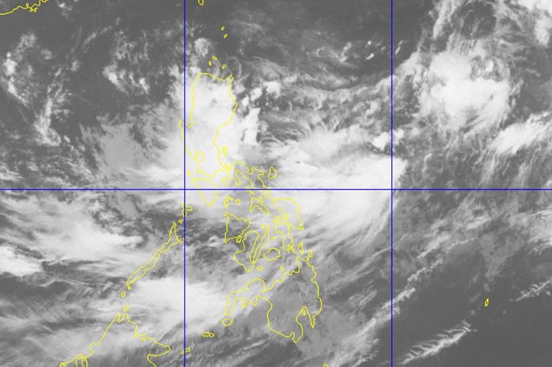
The tropical depression entered the country’s jurisdiction at 9:30 a.m. It was given a local name “Marilyn” —the 13th tropical cyclone in 2019.
“Marilyn” was located 1,355 kilometers east of Casiguran, Aurora packing maximum sustained winds of 55 km per hour and gusts of up to 70 kph. It is moving northwest at 25 kph.
No Tropical Cyclone Wind Signal has been raised over any area.
The weather bureau also said that “Marilyn” may not make any landfall in the country throughout the forecast period.
The trough or extension of the tropical depression will dump light to moderate rains and intermittent heavy rainshowers during thunderstorms over most of Luzon—including Metro Manila—Visayas, Zamboanga Peninsula, Bangsamoro, Northern Mindanao and SOCCSKSARGEN until Friday morning.
PAGASA warned against sea travel, especially for small seacrafts, over the central and eastern seaboards of Visayas and the northern, eastern and southern seaboards of Mindanao.
Forecast positions
- Friday morning: 1,115 km east of Aparri, Cagayan
- Saturday morning: 1,095 km east of Basco, Batanes
- Sunday morning: 1,310 km east northeast of Basco, Batanes
- Monday morning: 1,365 km northeast of Basco, Batanes (outside PAR)
- Tuesday morning: 1,230 km northeast of Basco, Batanes (outside PAR)
— Gaea Katreena Cabico


- Latest
- Trending