Falcon veers north; LPA brings rains

MANILA, Philippines — Tropical Storm Falcon will continue to bring moderate to heavy rains in some parts of Luzon today even as it veered north from its projected path.
Falcon, with international name Danas, was expected to make landfall in Cagayan yesterday but made a 90-degree turn northward.
But another low-pressure area was spotted off Ilocos Sur, bringing more rains in Luzon.
The province of Batanes remained under Tropical Cyclone Wind Signal No. 2 as of 5 p.m. yesterday as Falcon continued to head toward Taiwan.
Signal No. 1 was still up in Apayao, Cagayan, Ilocos Norte and Babuyan Group of Islands, the Philippine Atmospheric, Geophysical and Astronomical Services Administration (PAGASA) said.
Falcon – the sixth cyclone to enter the country this year – was expected to make landfall over Gattaran, Cagayan, PAGASA said.
The Joint Typhoon Warning Center and Japan Meteorological Agency, however, said Falcon made a sudden turn north as it was about to make landfall.
Taiwan’s Central Weather Bureau also reported Danas made a sudden turn north, sparing Taipei.
As of 4 p.m., the center of Falcon was located at 265 kilometers east of Calayan, Cagayan.
It packed winds of 65 kilometers per hour near the center and gustiness of up to 80 kph.
Falcon was forecast to move north-northwest at 20 kph.
Moderate to heavy rains will persist over Zambales, Bataan, Cavite, Batangas, Occidental Mindoro, northern Palawan, including Calamian and Cuyo Islands, and Romblon today.
Meanwhile, Metro Manila, the rest of Luzon and the Visayas will have light to moderate to at times heavy rains.
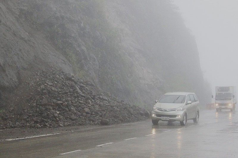
PAGASA warned residents of these areas against flooding and landslides.
PAGASA said the low-pressure area off Ilocos Sur was also enhancing the southwest monsoon.
As of 4 p.m. yesterday, the weather system was spotted at 180 km west of Sinait.
Falcon is expected to exit the Philippine area of responsibility tomorrow morning.
Disaster officials have been issuing alerts and advisories in areas where Falcon is expected to barrel through.
Falcon is enhancing the southwest monsoon, affecting the provinces of the country’s western seaboard.
The National Disaster Risk Reduction and Management Council called on residents in Ilocos, Zambales, Bataan and Occidental Mindoro to brace for possible flash floods and landslides.
Falcon, along with the enhanced southwest monsoon, yesterday dumped moderate to heavy rains over Abra, Kalinga, Isabela, Mountain Province and Ifugao; Isabela, La Union, Zambales and Bataan; Cavite, Batangas, Occidental Mindoro, Northern Palawan, including Calamian Group, Cuyo Island, Aklan and Antique. – Jaime Laude, Raymund Catindig, Edu Punay, Rudy Santos, Gilbert Bayoran, Ramon Efren Lazaro, Rainier Allan Ronda, Lino dela Cruz, Cesar Ramirez
- Latest
- Trending


