LPA enters PAR, may intensify into tropical depression
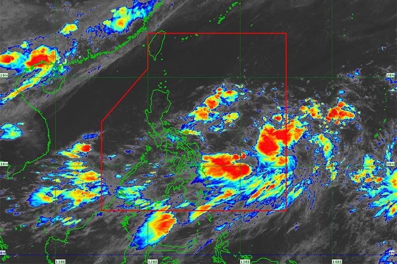
MANILA, Philippines (Updated 5:52 p.m.) — The low pressure area PAGASA is monitoring has entered the Philippine area of responsibility Sunday afternoon.
JUST IN | A low pressure area has entered the Philippine Area of Responsibility as of 2:00 pm. today.
— ONE News PH (@onenewsph) July 14, 2019
Should the LPA intensify into a tropical depression, it will be named #FalconPH. pic.twitter.com/Y9eG2aO10r
It was located at 980 km east of Guiuan, Eastern Samar at 3 p.m. Sunday.
The LPA is expected to develop into a tropical depression within the next 48 hours and would be locally named “Falcon.”
The brewing tropical cyclone is not seen to make landfall but PAGASA said in an update early Sunday that this scenario might still change.
“Dahil malayo pa ang LPA, posible pang magbago ‘yung scenario,” weather specialist Gener Quitlong said in PAGASA's 5 a.m. forecast.
(Because the LPA is still far, the scenario may still change)
Meanwhile, PAGASA clarified that the LPA is not yet affecting the country since it is still far.
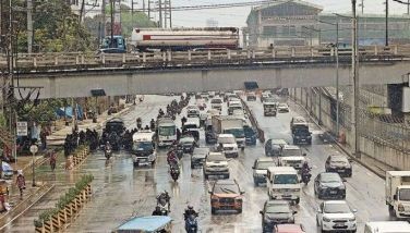
However, its trough or extension causes rains in some parts of the country.
PAGASA said Metro Manila, Bicol, Mimaropa, Calabarzon, Visayas and Mindanao may experience cloudy skies with scattered rainshowers and thunderstorms on Sunday.
Northern and central Luzon, on the other hand, are expected to have fair weather in the morning and possible localized thunderstorms in the afternoon.
The weather agency advised the public that Metro Manila would experience continued rains in the next three days due to the LPA's trough.


- Latest
- Trending