Tropical depression to affect Northern Luzon
MANILA, Philippines — A low-pressure area over the Pacific Ocean yesterday intensified into a tropical depression and is expected to affect extreme Northern Luzon next week, the state weather bureau said.
The tropical depression was spotted at 2,175 kilometers east of Southern Luzon as of 3 p.m., packing winds of 55 kilometers per hour near the center and gustiness of up to 65 kph.
It was forecast to move north-northwest at 10 kph, according to the Philippine Atmospheric, Geophysical and Astronomical Services Administration (PAGASA).
It was expected to intensify into a storm before entering the Philippine area of responsibility tomorrow afternoon.
Once inside the country’s territory, the weather disturbance will be named Paeng.
The approaching cyclone is expected to develop into a typhoon while inside the Philippine area of responsibility and affect extreme Northern Luzon by next Friday.
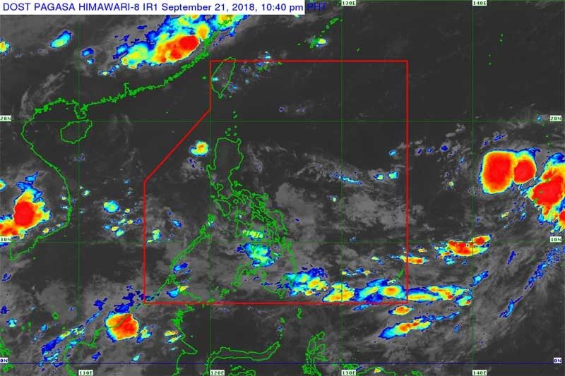
Meanwhile, regions of Mimaropa, Calabarzon, Bicol, the Visayas, Zamboanga peninsula, Northern Mindanao and Caraga will experience scattered rains and thunderstorms due to the intertropical convergence zone (ITCZ), a breeding ground for low-pressure areas.
Metro Manila and the rest of the country will have partly cloudy to cloudy skies with isolated rains due to thunderstoms.
Last weekend, powerful typhoon Ompong (international name Mangkhut) pummeled Northern Luzon with heavy rains and gusty winds, triggering deadly landslides in Benguet and Cebu.
Ompong, the strongest cyclone to hit the country so far this year, left at least 95 people dead and damage to agriculture amounting to P17 billion.


- Latest
- Trending