Tropical depression seen to enter PAR by Friday morning
MANILA, Philippines — The low pressure area that has developed into a tropical depression is expected to enter the Philippine Area of Responsibility between Thursday night and Friday morning, state weather bureau PAGASA said.
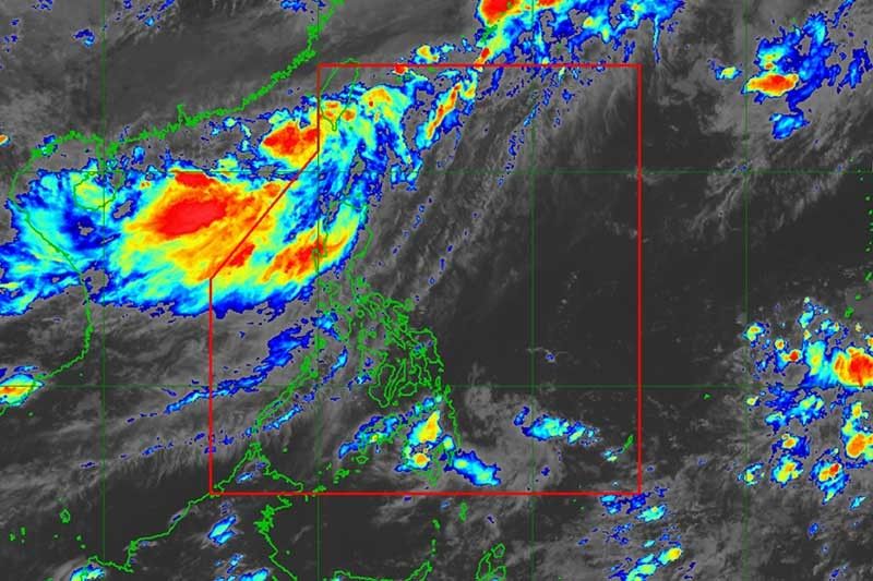
The eye of Tropical Depression Ester was last spotted 335 km northwest of Basco, Batanes. It packs maximum sustained winds of 55 kilometers per hour near the center and gustiness of up to 65 kilometers per hour.
“Ester” is moving east northeast at 15 kph. It is seen to exit the Philippines on Sunday afternoon.
Tropical Cyclone Warning Signal Number 1 is raised over Batanes.
Residents in Batanes will experience occasional rains with gusty winds due to the approaching weather disturbance.
“The southwest monsoon, enhanced by the tropical depression, will bring moderate to occasional heavy rains over Ilocos Region, Cordillera Administrative Region, Zambales and Bataan, and light to moderate with at times heavy rains over Metro Manila, Tarlac, Pampanga, Bulacan, Cavite and Batangas until weekend,” PAGASA said.
The state weather bureau is also monitoring a low pressure area east of Mindanao. It, however, is not expected to develop into a tropical depression.


- Latest
- Trending