MBG-7 conducts risk assessment for rainy days
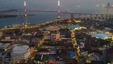
CEBU, Philippines — As the public anticipates flooding and landslides this rainy season, the Mines and Geosciences Bureau in Central Visayas (MGB-Region 7) is working on the “risk assessment” of all vulnerable areas in the region.
Through this mechanism, the agency can assess or determine the percentage of population that can be at risk or vulnerable to a specific geo-hazard like landslide or flooding, said MGB-Region 7 chief geologist Al Emil Berador during The FREEMAN’s online conversation.
It may also determine its extent of damage to infrastructures like roads and buildings, he added.
“Now, LGU’s will know which areas among the residents are at risk… So, they can focus their resources to that group than spreading them out,” he said.
Berador explained that geo-hazard is a natural phenomenon that poses danger to people or properties and it cannot be prevented but can be minimized.
He said MGB already completed updating the database for the geo-hazard mapping, which is essential before conducting the risk assessment.
These maps provide information on which localities are susceptible to geo-hazards, categorized in different levels of vulnerability – low, medium or high.
He said all the results from the survey had been distributed to the local government units, down to the barangay level – the frontliners in disaster mitigation and response.
The agency also conducted information dissemination explaining to stakeholders on how to make use of these maps and how can these benefit them.
One can access the geo-hazard maps at the offices of their respective LGU, or the DENR-7 office at Sitio Sudlon, Barangay Lahug, Cebu City. People can also view and download these online.
Aside from enhancing preparedness on disasters, MGB-7 information officer Marian Codilla said these maps are also important in land use, or in planning projects or development.
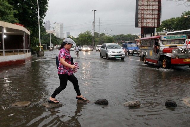
Also during the online interview, plastic pollution was also highlighted being one of the factors that cause flooding.
Charmie Regudo, information officer of Department of Environment and Natural Resources in Region 7, said plastics clog up the drainage and obstruct the flow of water during rains.
In celebration of the Philippine Environment Month this June, she said the agency is advocating the use of materials that can be reused and recycled. The environment agency also discourages the use of single-use plastics.
She lamented that people had been dependent on using plastics from sachets of shampoo to straws from drinks and one way to counter it is to change the mindset and behavior of people that these materials bring harmful effects to the environment in the long run.
She said it may be a challenge to convince people to shift their practices but the agency will continue with its advocacy by widening the consciousness of people on the irresponsible use of plastics. — MBG (FREEMAN)


- Latest