Photos show more Chinese construction, new radars on Mischief Reef

MANILA, Philippines — China continues to install structures on Philippine-claimed Mischief or Panganiban Reef in the South China Sea while the rest of the world battles the coronavirus pandemic.
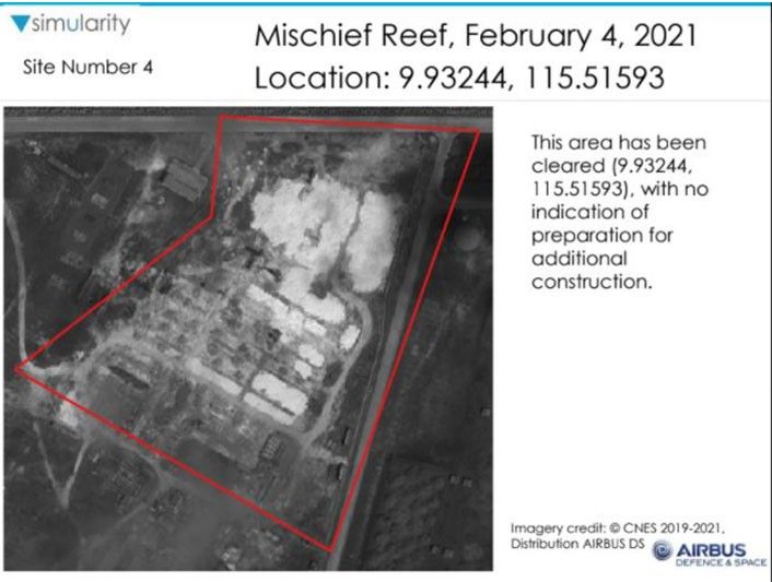
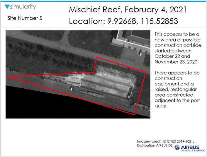
Satellite images released by US-based Simularity showed that certain areas on the artificial island have been cleared while others have new equipment and facilities.
Jay Batongbacal, director of the University of the Philippines Institute for Maritime Affairs and Law of the Sea, said in a Facebook post that areas being cleared are probably for "more planned buildings."
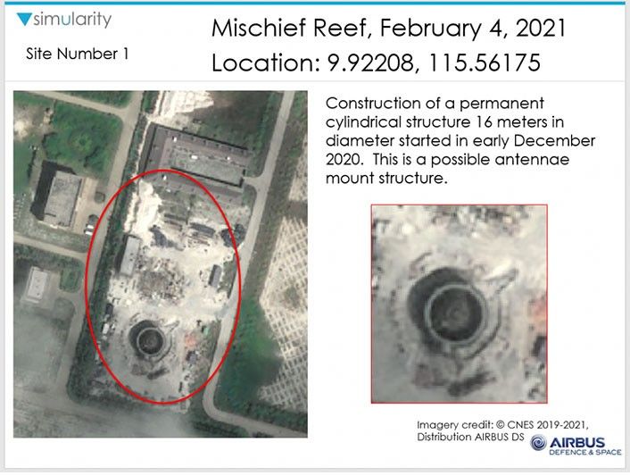
In one area, a satellite image dated February 4 showed construction of a 16-meter permanent cylindrical structure, which is a possible antennae mount structure.
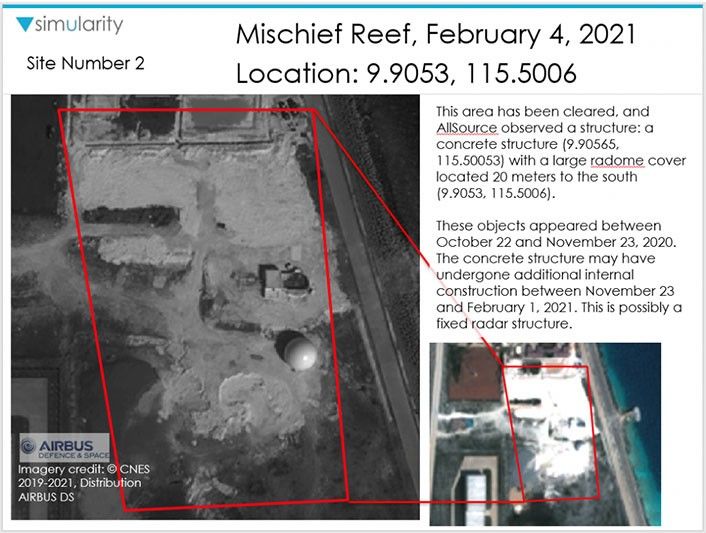
In several areas on the island, a concrete structure with a large radome cover, possibly a fixed radar structure, was seen.
According to Simularity, the radar structures might have been in the area as early as October 2020.
"The concrete structure may have undergone additional internal construction between November 23 and February 1, 2021," the report read.

Mischief Reef, one of China's "big three" in the Spratly Islands, is well within the Philippines' exclusive economic zone (EEZ).
In July 2016, the United Nations-backed tribunal at The Hague, Netherlands, ruled that Mischief Reef is part of the EEZ and continental shelf of the Philippines, as it is located within 200 nautical miles of the country's coast on Palawan.
The arbitral tribunal also concluded that Beijing violated its obligations under the UN Convention on the Law of the Sea when it failed to prevent Chinese vessels from fishing at Mischief Reef and Second Thomas Shoal in May 2013.
Under the landmark ruling, Mischief Reef is a low-tide elevation, which means that feature is not capable of appropriation as a territory.
China's construction of artificial islands at Mischief Reef without authorization from the Philippines is also a violation of the UNCLOS.


- Latest
- Trending