'Maring' to exit PAR tonight
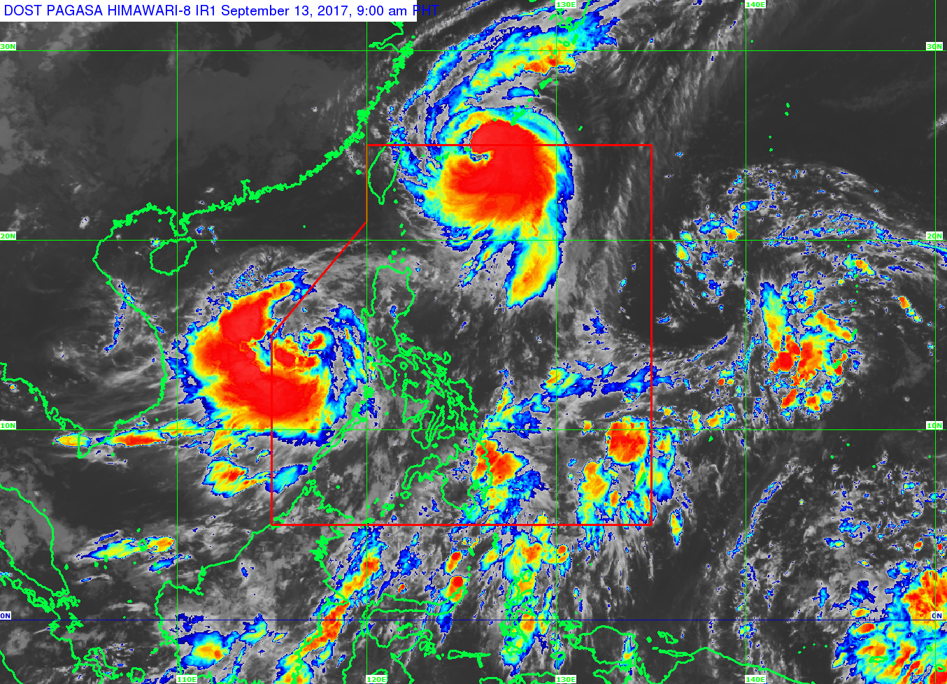
Typhoon Maring has maintained its strength and is now traversing the West Philippine Sea. PAGASA
MANILA, Philippines — Typhoon Maring is forecasted to exit the Philippine area of responsibility on Wednesday evening or early Thursday morning, state weather bureau PAGASA said.
The typhoon has maintained its strength and continues to move toward the West Philippine Sea.
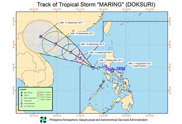
At 4 a.m., "Maring" was located 270 kilometers west of Iba, Zambales, packing maximum sustained winds of up to 75 kilometers per hour and gusts of up to 90 kph. It is expected to move west northwest at 15 kph.
Tropical cyclone warning signals have been lifted but Bataan, Zambales and Batangas will experience light to moderate with occasional heavy rains during thunderstorms. Landslide and flashfloods are possible in these areas.
The state weather bureau warned that sea travel remains risky over the western seaboard of central and southern Luzon.
Forecast positions
- 24 hours (Thursday morning) 565 km west northwest of Iba, Zambales (Outside PAR)
- 48 hours (Friday morning) 790 km west of Sinait, Ilocos Sur (Outside PAR)
- 72 hours (Saturday morning) 1,120 km north northwest of Pag-asa Island, Palawan (Outside PAR)
- 96 hours (Sunday morning) 1,445 km north northwest of Pag-asa Island, Palawan (Outside PAR)
— Patricia Lourdes Viray


- Latest
- Trending