Isang slows down, dumps rains over Metro Manila, nearby areas
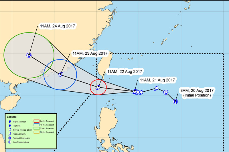
Photo shows the forecast track of tropical storm "Isang." PAGASA/Released
MANILA, Philippines — Tropical Storm Isang (Hato) maintained its strength as of early Monday afternoon as it continues to enhance the southwest monsoon or habagat, bringing heavy rains over Metro Manila and neighboring areas.
In a severe weather bulletin issued, the Philippine Atmospheric, Geophysical and Astronomic Services Administration said that Isang continued to pack maximum sustained winds of up to 80 kilometers per hour near its center and gustiness of up to 97 kph as it sliced through the country’s extreme northern Luzon.
PAGASA said that Isang was forecast to move west northwest war at a speed of 15 kph, a bit slower than the its recorded speed of 17 kph midday on Monday.
“At 1:00 PM today, the center of Tropical Storm ‘Isang’ was estimated based on all available data at 255 km east of Basco, Batanes,” according to the weather agency’s bulletin.
The weather system continues to enhance the southwest monsoon which will bring light to moderate showers to possible occasional heavy rains over Metro Manila, Central Luzon, CALABARZON, MIMAROPA, Bicol and Visayas.
Moderate to occasionally heavy rains are expected within the 300-kilometer diameter of the tropical storm, according to weather agency.
Batanes Group of Islands remains under Storm Signal No. 1, which means that winds between 61 to 120 kph can be expected in the next 24 hours. PAGASA said that this storm signal could generate waves of 4.1 to 14 meters in height in open seas.
Areas under this storm signal would experience winds that may bring light to moderate damage to exposed communities, adding that rice and corn may be adversely affected.
Storm Signal No. 1 is up on the Babuyan Group of Islands where 30- to 60-kilometer winds may be experienced in the next 36 hours. Waves in open seas may be between 1.25 to 4 meters.
Very light to no damage to low-risk structures may be experienced in locations under signal no. 1 while light to medium damage may be inflicted on high-risk structures.
Rice crops on their flowering stage may sustain significant damage, according to PAGASA.
Isang is expected to be 195 km west northwest of Basco, Batanes and is forecast to leave the Philippine Area of Responsibility by Wednesday morning.
On Thursday morning, it will be 1,135 km west northwest of Basco, Batanes.


- Latest
- Trending